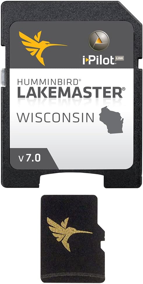
Humminbird LakeMaster Wisconsin Edition Digital GPS Lake Maps, Micro S —
Maximize every moment of fishing when you upgrade to the unrivaled accuracy and detail of Humminbird LakeMaster mapping, which features easy-to-read contours, highlighted depth ranges, and scrollable lake lists. LakeMaster digital maps provide the most detailed, high-definition collection of freshwater mapping in the U
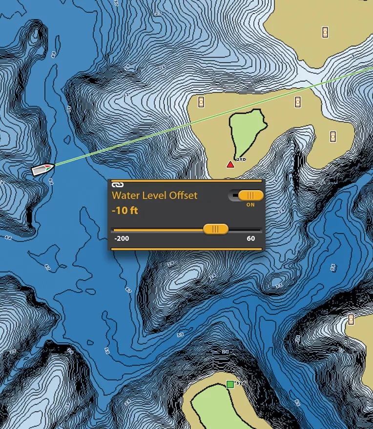
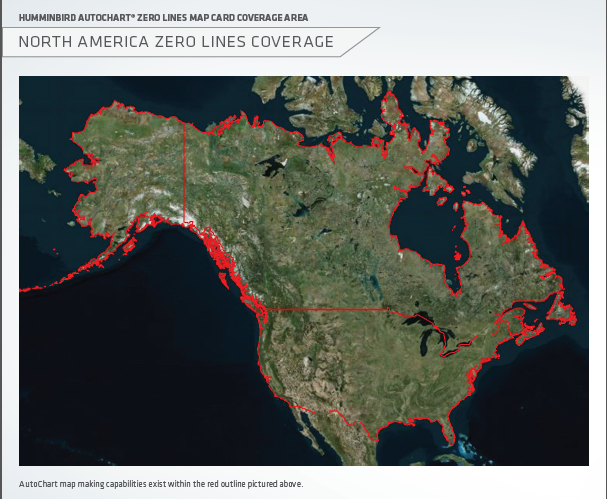
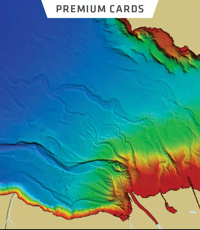
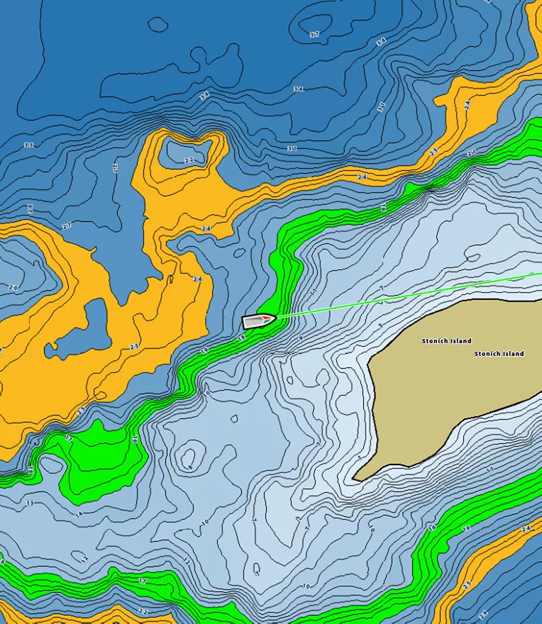
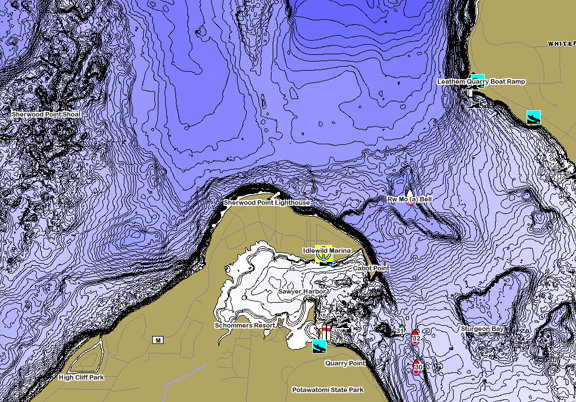
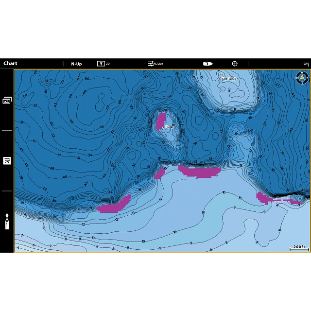
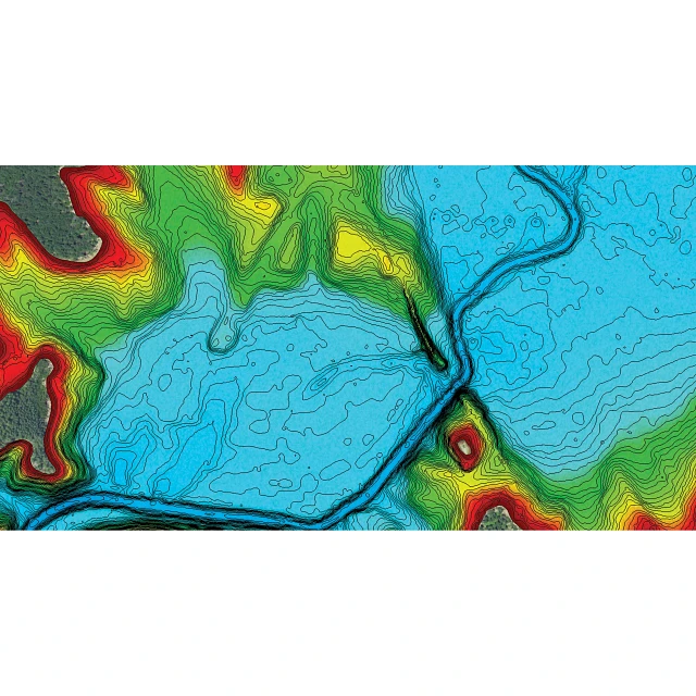
Maximize every moment of fishing when you upgrade to the unrivaled accuracy and detail of Humminbird LakeMaster mapping, which features easy-to-read contours, highlighted depth ranges, and scrollable lake lists. LakeMaster digital maps provide the most detailed, high-definition collection of freshwater mapping in the United States, with unmatched depth contours between 1-3 feet (in high definition) or 3-5 feet (standard definition). This Wisconsin Edition, Version 7 boasts more than 260 high-definition lakes and over 1,700 total lakes from WI, adding over 500 new lakes since the prior version (45 of them high definition). Newly surveyed waters in WI include: Lake Michigan (North, South and Central), Sturgeon Bay, Loon Lake, Mississippi River Pool #4, Lost Land, Teal Lake, and many more. Easy-to-see shading highlights shallow-water areas within an adjustable range up to 30 feet, and depth contours and shorelines can be synchronized with the actual water levels of lakes, reservoirs, and rivers. LakeMaster digital maps can be used with Minn Kota i-Pilot Link (sold separately), allowing you to follow a selected depth contour line to deliver precise, automatic boat control. Collected by Humminbird's own team of GIS analyst cartographers, LakeMaster high-definition maps are created from on-the-water surveys using hundreds of thousands of depth soundings, plus state-of-the-art GPS and sonar technologies. LakeMaster digital maps come on a Micro SD card (with included SD card adapter) that's compatible with all GPS-equipped HELIX, SOLIX, ONIX, and ION Series models and select 600-1100 Series models. Strictly intended for use in your Humminbird GPS unit, LakeMaster mapping cards are not PC compatible and map files could be corrupted if accessed on a computer.
- Maximize every moment of fishing when you upgrade to the unrivaled accuracy and detail of Humminbird LakeMaster mapping, which features easy-to-read contours, highlighted depth ranges, and scrollable lake lists.
- This Wisconsin Edition, Version 7 boasts more than 260 high-definition lakes and over 1,700 total lakes from WI, adding over 500 new lakes since the prior version (45 of them high definition).
- Easy-to-see shading highlights shallow-water areas within an adjustable range up to 30 feet, and depth contours and shorelines can be synchronized with the actual water levels of lakes, reservoirs, and rivers.
- LakeMaster digital maps can be used with Minn Kota i-Pilot Link (sold separately), allowing you to follow a selected depth contour line to deliver precise, automatic boat control.
- LakeMaster digital maps come on a Micro SD card (with included SD card adapter) that's compatible with all GPS-equipped HELIX, SOLIX, ONIX, and ION Series models and select 600-1100 Series models.
LakeMaster Maps - Freshwater Mapping with VX Technology - Humminbird

Humminbird LakeMaster Chart Southeast States Version 4 V4 for sale
LakeMaster Maps - Freshwater Mapping with VX Technology - Humminbird

Humminbird SmartStrike Wisconsin Edition Version 4 Micro Map Card
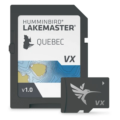
LakeMaster - Quebec V1 - Humminbird
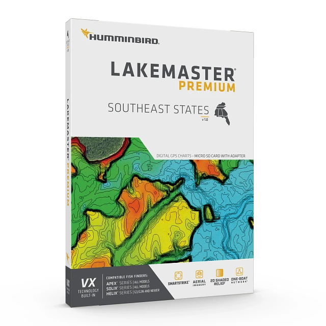
LakeMaster Premium - Southeast States V1 - Humminbird

Humminbird 600025-7 LakeMaster Wisconsin V8 Digital
LakeMaster Legacy Wisconsin V8
LakeMaster - Wisconsin V1 - Humminbird
LakeMaster Premium - Mid-Atlantic V1 - Humminbird

Humminbird 1100250 Micro Map Card : : Electronics

Humminbird 600045-4 LakeMaster PLUS Northeast V2 MicroSD